Every single day, millions of animals die on American asphalt. It is a quiet, brutal crisis that most drivers ignore until a deer smashes through their windshield. State transport agencies struggle to track where these collisions happen because reports are fragmented across police logs, highway patrols, and random insurance claims. Enter Aaryan Ghorpade, a high school student from North Carolina who looked at a massive data problem and built a free roadkill mapping platform to fix it.
Ghorpade took first place in the 16 to 18 age group of the annual "A Voice for Animals" contest, organized jointly by the Animal Welfare Institute and the Humane Education Network. His project, named EcoRoute, isn't just another school science fair gimmick. It is a working prototype designed to aggregate collision reports into dynamic heat maps, giving local authorities and city planners the precise data they need to install wildlife fencing, underpasses, and targeted speed reduction zones without blowing their budgets.
Why Traditional Wildlife Tracking Fails
If you talk to local transportation planners, they will tell you the same frustrating story. They want to build wildlife crossings, but politicians and budget committees demand proof. Where are the dead zones? Which stretch of rural highway claims the most deer, turtles, or raccoons each month?
Data collection has historically been a complete mess. Police departments log accidents with property damage, but they rarely record strikes on smaller animals. State wildlife agencies keep separate spreadsheets. Road maintenance crews clear the pavement at dawn and toss the carcass into the treeline without logging GPS coordinates.
Because these systems don't talk to each other, millions of dollars get allocated based on guesswork rather than empirical evidence. Municipalities end up putting up deer warning signs in places where few accidents actually happen, while genuine blackspots go completely ignored.
How EcoRoute Changes the Equation
Ghorpade's platform solves this fragmentation by offering a free, centralized database that relies on accessible reporting. Instead of waiting months for bureaucratic departments to compile reports, EcoRoute pulls data into clear visual heat maps.
The software highlights high-risk zones where animal-vehicle collisions spike repeatedly. When transportation engineers look at these maps, they can stop guessing. They can see precisely where migratory paths intersect with high-speed commuter routes.
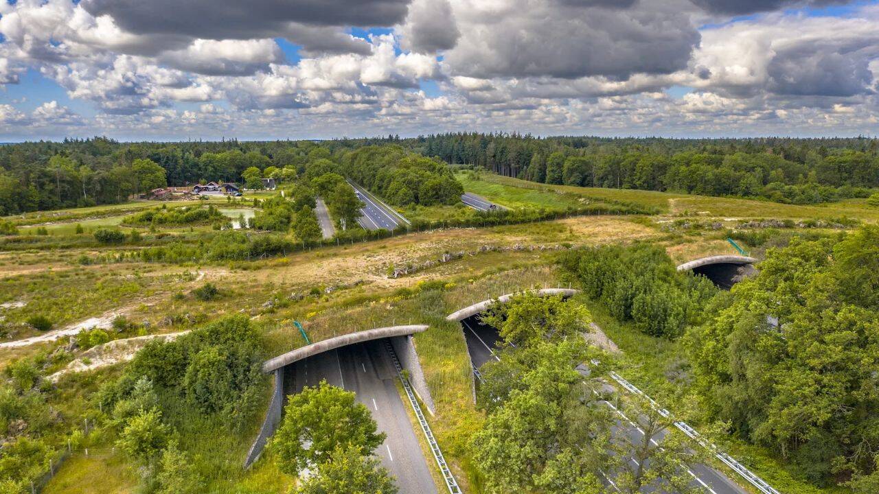
Building an overpass or an underpass costs serious money. But when you have exact GPS clusters showing where wildlife crosses every autumn, spending $500,000 on a wildlife bridge suddenly becomes an easy sell to city councils. It stops being an environmental luxury and starts being a proven public safety investment that protects human drivers just as much as native fauna.
Winning National Recognition
The "A Voice for Animals" competition rewards students who tackle concrete animal welfare issues with practical, real-world strategies. Ghorpade secured the $600 first-place prize in his category because his project combined software engineering with structural policy proposals.
Judges evaluated entries based on original thinking and actual implementation potential. Ghorpade's proposal didn't just stop at code; it outlined how state transportation departments could integrate crowdsourced and publicly available data into their long-term infrastructure planning without adding expensive monitoring equipment to their payrolls.
Other students in the competition tackled issues like bird window strikes and marine habitat preservation, but EcoRoute stood out because it addresses an infrastructure blind spot that affects every state in the country.
What Real Implementation Looks Like
Turning a prototype into a functional municipal tool is notoriously difficult. Software built by students usually stays on a laptop or a GitHub repository. But Ghorpade isn't stopping at a trophy.
His next steps involve refining the data processing algorithms and partnering with regional wildlife protection groups across North Carolina. Field testing the platform on active state roads will expose the bugs that classroom simulations miss. Volunteers will need a simple mobile interface to drop pins when they spot wildlife hazards during morning commutes, and local agencies will need training on how to export those data sets into their GIS software.
The broader lesson here isn't just that a smart teenager won an award. It is that modern conservation doesn't always require massive corporate grants or multi-year government studies. Sometimes it starts with a teenager writing code in his bedroom to solve a problem right outside his window.
Start paying attention to the yellow warning signs on your local commute. Behind every silhouette of a deer on a metal sign is a data point waiting to be mapped.