Seven minutes. That is how long it took a wall of ice, stone, and liquefied earth to travel 22 kilometers down a Himalayan valley and erase Gyirong Port.
No one outran 19-meter-per-second debris flows. Physics doesn't negotiate with border customs posts or trade zones. When the August 26, 2026 glacial collapse hit the China-Nepal frontier, it didn't just log casualties—over 1,400 dead or missing across the region and 993 recovered personal artifacts in Tibet alone—it exposed a brutal blind spot in high-altitude disaster modeling.
We talk about climate warming in decades or feet of sea-level rise. High Asia talks in minutes.
The Physics They Miscalculated
Standard hydraulic models treat flash floods like swollen riverbeds. You measure watershed area, rainfall intensity, and channel slope, then you build concrete aprons.
That failed at Gyirong because the hazard wasn't rain. It was a mass-movement hybrid: seismic-equivalent energy release (measured by the USGS at magnitude 5.2-level ground-shaking dynamics during structural collapse), turning 0.7 square kilometers of flat infrastructure into grey slurry.
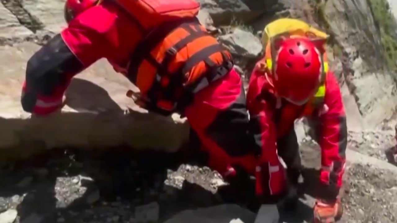
Look at what the recovery teams pulled from the grey soup: 993 personal effects—charging cables, single shoes, jewelry, crushed phone cases. Workers like Gui, spending decades on that ridge, describe standing in a parallel nightmare where pine trees are the only cadastral marker left.
Why did traditional monitoring miss the fuse?
- Hydrology sensors look at water, not sub-glacial ice cavities under hydraulic pressure.
- Cross-border data sync runs at bureaucratic speed while glacial lake breach prep runs at geological speed.
- Early warning platforms like MAZU show promise for downstream warning, yet high-altitude initiation zones lack dense seismic-acoustic sensor arrays.
Why Small Items Tell the Real Math of Failure
Statistics sanitize catastrophe. Five hundred missing sounds like a ledger adjustment until you hold a melted plastic phone case with a family sticker on the back.
In disaster economics, physical reconstruction gets 90% of the press. Bridges drop (like the Miteri Bridge at Rasuwagadhi a year prior), bridges rise. Prefabricated steel and heavy excavators move fast once the PLA or Nepali civil works roll in.
What doesn't rebuild is operational muscle memory at the micro-border scale.
Port towns aren't abstract trade nodes. They’re micro-cities with sleeping quarters, tea stalls, shift rosters, and informal storage yards. When a 22-kilometer sprint of slurry buries a transit hub in 420 seconds flat, evacuation drills designed for earthquakes or slow floods are useless. You can't duck-cover-and-hold against a mud tsunami moving at highway speeds downhill.
What Himalayan Border Logistics Get Wrong Right Now
If you're managing cross-border infrastructure, supply chain risk analysis, or regional resilience planning in South-Central Asia, stop treating high-altitude passes as static transit gates.
- Abandon static buffer zones. A 50-year flood line is fiction when glacial lake outburst floods (GLOFs) carry boulder loads the size of minivans. Set critical administrative housing 200 vertical meters above valley floors or shift personnel to remote digital clearance pods.
- Link seismic-cryo telemetry. Water level gauges downstream are autopsy reports. You need acoustic and displacement sensors bolted directly to hanging glaciers feeding transnational river gorges.
- Re-engineer human response windows. Seven minutes means human-in-the-loop evacuation protocols fail unless automated local sirens trigger autonomous red alerts tied to wearable vibration tags.
The Hard Truth About Transboundary Data
China and Nepal share river basins, joint scientific expeditions, and diplomatic communiqués (such as the Trans-Himalaya forum discussions). Good faith isn't the bottleneck. Granular, real-time shared telemetry is.
When Nepal hydrologists ask for upstream water and ice movement data on the Xizang side, waiting for bi-lateral committee sign-offs converts minutes into morgues. Data solidarity has to bypass protocol layers during red-code thermal anomalies.
The pine tree on the ridge remembers the old grade. The rest of Gyirong is under six meters of rock dust.
Audit your high-altitude asset exposure today. Move personnel out of narrow gorge alluvial fans. If your disaster playbook assumes a 30-minute warning lead time in the High Himalaya, tear it up. Write a new one timed for seven minutes.